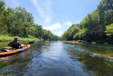
The Buffalo River is well-known as probably the most popular floating and paddling river in Arkansas. But the lands around it are home to some of the best hiking spots in the state. In particular the Upper Buffalo area near Ponca, Boxley Valley and Compton is where you’ll find a lot of the most popular trails. There is a lesser-known hike in this area that is worth a look and that is the hike to Balanced Rock Falls. You won’t find the trailhead for this one on Google maps like the other ones. Nor is it listed on the Buffalo River NPS hiking page or the Hiking Project App. But you can find it on the AllTrails app
I found this hike when I saw pictures of Balanced Rock Falls posted on some of the Facebook hiking pages that I follow. I like interesting rock formations as much as I like waterfalls. So to combine the two, I knew I had to add this one to my list. Luckily, the AllTrails app had the details I needed to find it and do the hike.
Directions
Use the map below to navigate yourself to the parking area of the Ponca low-water bridge. Walk across the bridge and look for the brown sign for the Buffalo River Trail (included in the pics further below). The start of the Buffalo River Trail will be obvious. There is a No Parking sign right at the beginning of it. To the left of that is an unmarked trail (also pictured in the slideshow below). Take that trail.
What to Expect
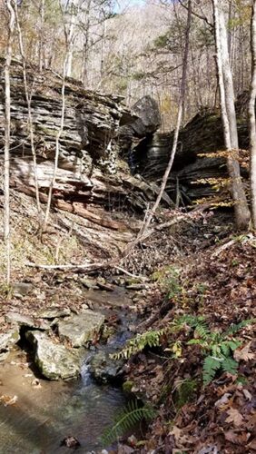
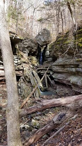
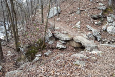
The hike to Balanced Rock Falls is just a little over 1 mile, out and back. It is a nice trail, but it’s not very well-marked – you kind of just have to know where to start and then figure it out as you go. The map on the AllTrails app is a little helpful, but there are a couple of spots where it’s not clear where to turn. I have included some pics below of the trail and the falls. Some of the pictures are marked up in red to note the landmarks and help show you where to go. You might consider downloading these before you get there.
This is a really nice hike, especially in late Fall or Winter. There are lots of different kinds of trees out there to provide a variety of colors for Fall. The fallen leaves can make it a little difficult to follow at times. This trail doesn’t get a ton of traffic, and looks like it could get a bit overgrown in the Spring and Summer. So I do recommend doing this one in late Fall or Winter. The trail is rated as moderate due to the difficulty getting up the steep muddy embankment just before the falls. But aside from that, this trail is mostly flat and is pretty easy.
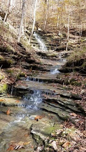
Even though the trail is not well-marked, it pretty much follows right along Leatherwood Creek and is easy to follow. Even with fallen leaves, the path is still visible and obvious. The problem is knowing when to cross the creek and finding the spot where the trail goes up the hill to the falls. Look for the shale cascading waterfall/creek bed that empties into Leatherwood Creek. This is a landmark. About 20 yards upstream from this is where the trail heads up a steep hill. Refer to the marked up pictures in the slideshow below. Find a place to cross the creek near here. Once you head up the hill, the trail will be obvious again and lead you right to the falls.
The Falls
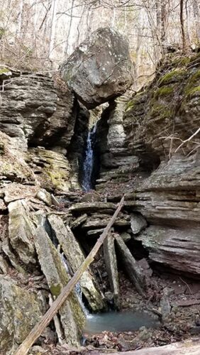
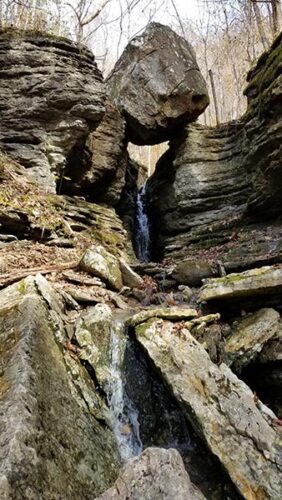
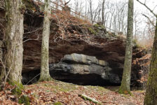
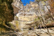
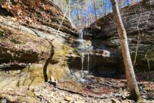
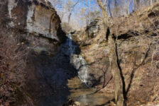
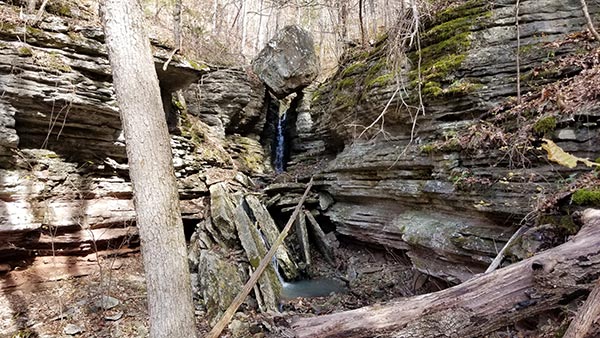
Once you get up the steep embankment, you’re pretty much there. You’ll know it when you see a V-shaped gorge with a giant boulder sitting on top. The trail approaches the falls from the bottom, and you can see the water falling through the V and under the boulder. Around the right side, the trail wraps around and continues up the hill to the top of the falls. There you can see the creek cascading down the hill toward the Balanced Rock.
Plan Your Trip
The Hike to Balanced Rock Falls is definitely worth doing, but I wouldn’t consider it a full-day destination hike. It’s only a little over a mile round-trip, and can be done in 2 hours or easily less. If you want to make a full day of hiking, you might consider adding one or two other hikes to this one. There are plenty of other great trails nearby such as Lost Valley, Big Bluff/Centerpoint Trail (aka Goat Trail), Whitaker Point, and many others. Be aware that there is NO cell service anywhere in the valley around Ponca. So be sure to save any trail maps and directions to them before you go, and make any last calls or texts you need to do well before getting there.
For this particular hike, you might want some water shoes if you go right after a heavy rain. If you go in Spring or Summer, definitely take some bug spray. There are two stores in Ponca with drinks, snacks, supplies, and restrooms. And post-hike lunch or dinner can be found nearby at the Low Gap Cafe, or other options just short drive over to Jasper.
There are lots of cabins, campgrounds, and places to stay nearby if you want to make a weekend of hiking all the trails in the area. You won’t cover them all in a weekend. No matter where you go around the Buffalo National River, be prepared to pack out any trash that you have and leave no trace. Help take care of this treasure by taking only pictures and leaving only footprints. Enjoy the hike!


