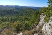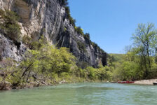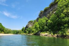
Many of the hikes I have written about so far are located in the areas between Russellville and Jasper, or Clarksville and Ponca. Nestled right in the middle of all those hills, creeks, and waterfalls lies Alum Cove Natural Bridge Recreation Area. In all my trips through this area, I’ve passed really close to Alum Cove probably a hundred times. And until recently, I had never stopped to visit – always in a rush to get somewhere else. But this past November, I made it a point to specifically stop in to check out Alum Cove. I was not disappointed.
I had actually set out to do a different hike that day a little further north. But the road to that trailhead was flooded so I had to call an audible. I’d been saving the Alum Cove area trail as a backup plan for just such an occasion. If you are in the vicinity, then it is very easy to get to and doesn’t take a long time to explore. But there is a lot of cool stuff to see here and it’s definitely worth a stop.
Directions
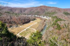
From Jasper, take Hwy 7 south for 15 miles. Or from Russellville, take Hwy 7 north for 51 miles. Turn west on AR 16 and go 1 mile. Turn right on Newton County Road 28 and look for the Alum Cove Natural Bridge Recreation Area sign on the right. Coming from Ponca or Northwest AR, take AR-21 south to Fallsville. From there, go east on AR-16 through Deer, and turn left on Newton County Road 28. See map below.
What to Expect
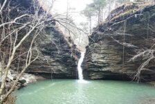
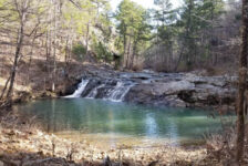
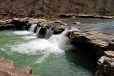
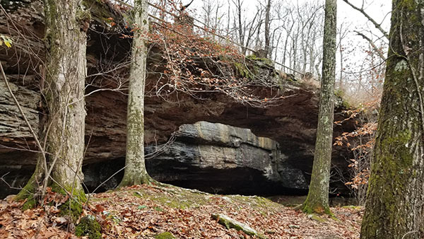
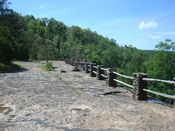
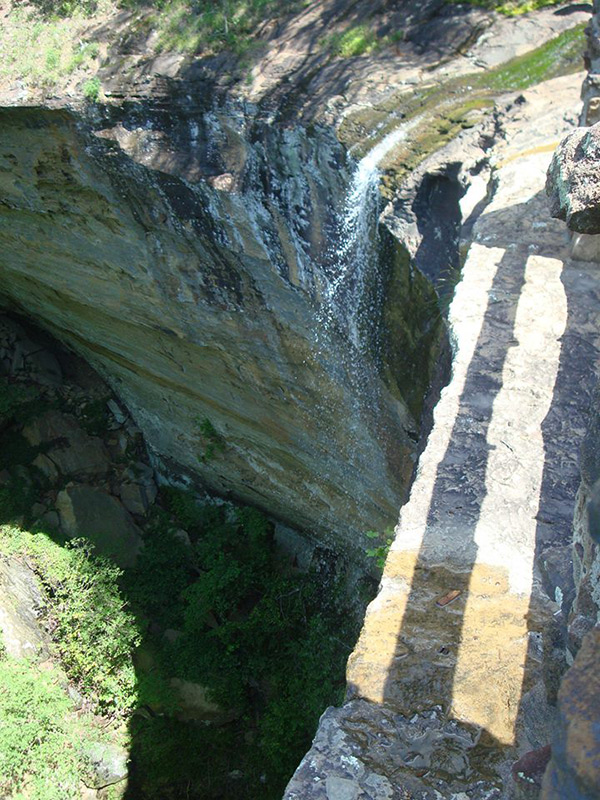
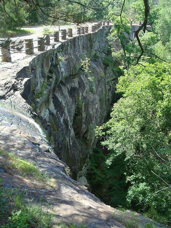
Alum Cove Natural Bridge Recreation Area has a little bit of everything packed into a pretty short hike. The main attraction is of course the Natural Bridge, which is a 130-ft quartz sandstone arch. Along the 1.2 mile loop trail, you will also cross a small creek (there is a bridge). After the creek, you’ll hike along the base of a bluff line. Within these bluffs you’ll find several caves that are fun to explore. Among the caves and bluffs there is another arch and lots of really cool rock formations. And at the end of the bluffs, you may get to see a waterfall, but only if there has been recent rain in the area. After the waterfall there is one more cave before the trail loops back uphill to the trailhead. You can see all this in my video below.
The trail is clean and well-marked. I found it to be a pretty easy hike. But AllTrails rates the trail as moderate. I think this is because you have to go downhill for about 0.4 miles to reach the Natural Bridge, and a little further downhill for the rest of the loop. And then walking back up the hill to the trailhead may be a challenge for some. It’s really not bad unless you have serious mobility issues.
Alum Cove Natural Bridge
As I mentioned, the Natural Bridge is a 130-ft quartz sandstone arch. I did not do any reading about it before I visited and didn’t stop to read any of the signs in the park. (It was COLD that day, give me a break!). As I was exploring around the arches and caves I was curious as to how these formations were created. According to the USDA website, the arch is actually the remains of a quartz sandstone cave. Erosion from rain, wind, and ice formed the gap between the arch and the rest of the rock overhang. You can read more about this here. I have to assume similar forces created the other arch and the caves in the bluffs.

Plan Your Trip
Try to visit Alum Cove Natural Bridge Recreation Area right after a rain. There is a small waterfall at the natural bridge and another along the bluffs. But these falls dry up quickly without any rain. All the rock formations alone are worth the trip, but the waterfalls add a little extra. That said, some good trail shoes or hiking boots are a good idea here if the conditions are a little wet. There is a decent cell signal if you need it. A map to this simple loop trail is posted on the trailhead so it’s not necessary to download a map.
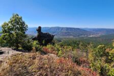
Again, this is a short hike that won’t take all day. So I recommend planning one or two other hikes in the area if you want a full day of hiking. There are plenty of options that are very close by. In terms of length and proximity to Alum Cove, here are few I would recommend. There is Glory Hole Falls to the east, just north of Fallsville. And a short drive south on Hwy 7 to Sand Gap/Pelsor will put you near Pam’s Grotto to the west of Hwy 7 or Pedastal Rocks (among others) to the east of Hwy 7. Click those links for directions.
A vault bathroom (“pit” toilet”) is available next to the parking area. If you can’t stomach that, the small town of Deer is nearby and probably has a business with public restroom, and maybe some food or drinks if you need it. As I always say, be prepared to pack out any trash you might have on your visit to Alum Cove and leave no trace. Take only pictures and leave only your footprints. I hope you enjoy it as much as I did. Be safe out there and happy trails.