Hiking
Hiking and Mountain Biking at Blue Mountain Natural Area
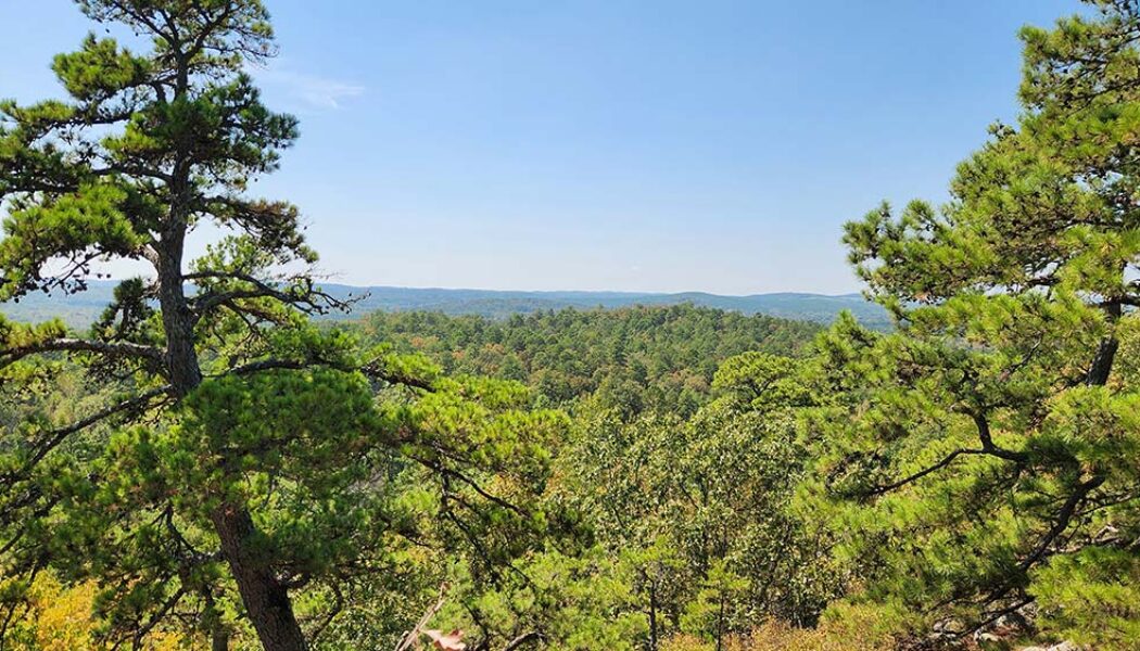
To the west of Little Rock lies the Maumelle Pinnacles chain of mountain peaks. These peaks somewhat mark the eastern gateway to the Ouachita Mountains. The Maumelle Pinnacles consist of three peaks: Pinnacle Mountain, Rattlesnake Ridge, and Blue Mountain. Pinnacle Mountain has been one of Arkansas’ most visited state parks for decades. And since opening in 2018, Rattlesnake Ridge has become a popular outdoors spot for folks seeking to avoid the Pinnacle crowds. Both of those locations offer excellent hiking and mountain bike trails. And in June of 2023, the third and final peak in the chain was opened to the public. Thanks to the Nature Conservancy and Arkansas Natural Heritage Commission, we now have hiking and mountain biking at Blue Mountain Natural Area. Directions On Hwy 10 wes...
Harris Creek Trail Hike at the Cossatot River
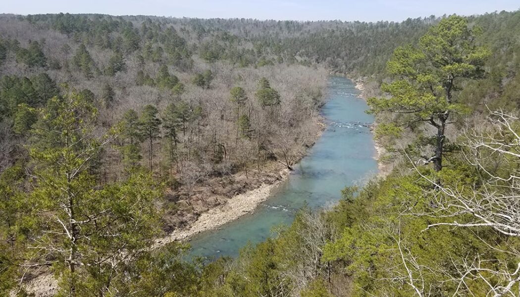
I spent most of my adult life thinking the Cossatot River was so far away from my home in Central Arkansas. I also spent most of that time thinking that Cossatot River State Park was only a destination for whitewater paddlers. It turns out that neither of those things are true, as I found out in 2021. In my first visit to the park, I went to Cossatot Falls to watch the kayakers take on the Class IV whitewater. And while I didn’t see any paddlers hit the “Skull Crusher” that day, I did find a pretty great hiking area. I didn’t give myself enough time that day to explore all the trails there. But I saw enough to know I had to make a return trip to do the Harris Creek Trail hike. The Harris Creek Trail at Cossatot River State Park is one of the four main hiking trails ...
Hiking Cossatot Falls
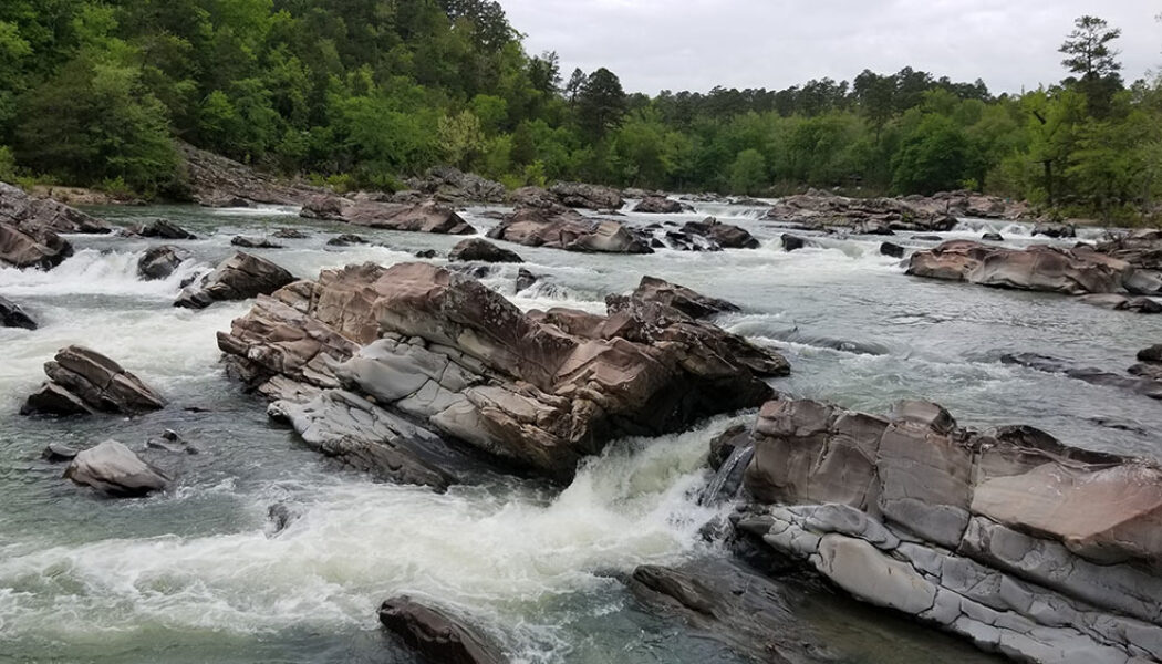
Because we have so many fantastic State Parks in Arkansas, I think some of them don’t quite get the attention they deserve. We are truly fortunate here to have such amazing State Parks like Petit Jean , Devil’s Den, Mt Magazine, Mt. Nebo, Hobbs, and others. While those parks tend to draw the most visitors, others, like Cossatot State Park, sometimes get lost in the shuffle. And if you’ve never been hiking Cossatot Falls at Cossatot River State Park, you’re missing out on one of the most impressive natural sights in the state. When most people think of the word “Cossatot”, they think of the Cossatot River and it’s Class IV whitewater sections. Most people – including me – are not equipped or skilled enough to paddle these sections, so th...
Tea Kettle Falls Hike (with Reynolds Hollow Falls)
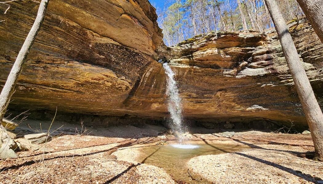
Tea Kettle Falls is one of the more well-known and unique waterfalls in Arkansas. The base of the waterfall is a massive grotto style bluff that is quite an impressive sight on it’s own. The creek flowing over the top of the bluff has carved a hole in the rock at the top of it. Much like Glory Hole Falls, the water drops through this hole before ever making it to the edge of the bluff. But where the hole at Glory Hole falls drops straight down through the bluff, Tea Kettle is different. Instead of the hole coming out the bottom, it re-routes horizontally, shooting the water out the side of the bluff. This rock formation resembles the spout of a kettle, which is how Tea Kettle Falls gets its name. I’ve wanted to do the Tea Kettle Falls hike for quite a while, and finally got the...
Hike to Iris Falls Near Lost Corner
The hike to Iris Falls is one that should be on every Arkansas waterfall hunters list. It is one of the many waterfalls you will find in the Lost Corner area, northwest of Morrilton. In fact, it is only about a quarter of a mile down the road from the parking area to Lizard Log Falls. If you have the Tim Ernst waterfall book, he describes this as a 7-mile hike. But that is if you want to see all of the waterfalls along Brock Creek Trail 23. If you want to see each one individually, there certainly are ways to do that. I have previously written articles on Schoolhouse Falls and Lizard Log Falls along Brock Creek Trail 23. I still have Voices Falls and Whiskey Chute Falls left to do in this group. As for the hike to Iris Falls, here is the approach I believe most peo...
Hiking to Lizard Log Falls Near Lost Corner
The Brock Creek Trail Area and other hollows near Lost Corner are a waterfall hunter’s paradise. This area is well-documented by waterfall pioneers like Tim Ernst and the late Rick Henry, among others. A look at the Waterfalls in Arkansas map will show you just how chock full of waterfalls this place is. Some of these waterfalls – like Schoolhouse Falls – can be accessed via easy hiking trails. Others, like Brushy Grotto Falls and Green Grotto Falls involve some trail and some bushwhack hiking. Many of them have multiple ways you can reach the falls. Hiking to Lizard Log Falls is one of those. Lizard Log Falls is a hike that I attempted to do two years before this writing. I got a little confused that day because the GPS track I had saved did not jive ...
Native American Falls Hike Near Sand Gap
I have written several articles recently about some of the hiking gems that can be found along AR Hwy 7. Waterfall hikes like Fern Falls, Hudson Shelter Falls, and Lonesome Hollow are just the tip of the iceberg. There are many more of those yet to go. Some of them are longer hikes, some are more difficult bushwhacks, and some are further off Hwy 7. I’ll try to eventually include as many as I can here. As for the more popular hikes closer to Hwy 7, the next on our list is the Native American Falls hike near Sand Gap. Much like Fern Falls, the parking location for Native American Falls is right on Hwy 7. There are no gravel roads to travel or complicated directions. It’s simply a dirt parking area off the highway, just south of the Hwy 16 intersection at Sand...
Armadillo Falls and Eden Cave at Lost Valley
Boxley Valley is one of the most iconic areas of the Ozarks. This scenic spot near Ponca attracts thousands of visitors per year to view the elk herds and hike the Upper Buffalo area. And that doesn’t even count the thousands of Buffalo River paddlers each Spring. This area has an abundance of fantastic hiking destinations for hikers to choose from. One of the most popular is an area tucked away in a hollow of Boxley known as Lost Valley. Anyone that has hiked much around the Upper Buffalo has likely hiked to Eden Falls at Lost Valley. But not everyone knows about Armadillo Falls and Eden Cave. The main attractions at Lost Valley are undoubtedly Eden Falls, Cobb Cave, and the Natural Bridge. I’ll admit, the first time I visited Lost Valley, I didn’t know there was anythin...
Easy Bushwhack Hike to Lonesome Hollow Falls
In my last article I described how AR Hwy 7 is the road to so many treasures in the Ozarks. In case you missed it, you can catch up on that one here. Yes, Scenic Hwy 7 between Dover and Harrison, and the many roads that intersect it, lead to a myriad of great hikes. There are long hikes, short hikes, difficult hikes, easy ones, and everything in between. As you travel along this highway, you’ll likely pass right by many of these adventures and not even realize it. That was certainly true for me. So in the Fall of 2022, I caught up with a few of these by hiking to Fern Falls and Hudson Shelter Falls. And finally, I made the easy bushwhack hike to Lonesome Hollow Falls Along the same road as Lonesome Hollow Falls lies a bushwhack hike along Cub Creek with multiple waterfalls. And to th...
Hike to Hudson Shelter Falls
It was a random Sunday drive up Hwy 7 into the Ozarks years ago where I unexpectedly found my future playground. Little did I know at the time that a visit to Haw Creek Falls would lead to this rabbit hole of adventures that I’ll likely never find the end of. Haw Creek would lead to Pack Rat Falls and Pam’s Grotto. And then across Hwy 7, I would find Kings Bluff and Pedestal Rocks, which would lead me to Falling Water Creek. And from that point, I was hooked. Oh I had done some mountain biking, some paddling, and your basic State Park hikes. But nothing like the Ozark gems I would find all up and down Hwy 7, and eventually all across the state. Since that day, I’ve travelled along this highway countless times, often not knowing what other gems I was passing right by. One ...
Hike to Fern Falls
The beginning of waterfall season can be a little hit-and-miss sometimes. I guess the dry ground in the Fall soaks up all the rainfall before it can drain off. There have been several Autumn hikes I’ve done right after a rain, only to reach a waterfall that’s dry or barely running. (Like the first time I hiked to Magnolia Falls). Because of this, I tend to save the longer or more difficult hikes for late Winter/early Spring, when I know the falls will be running strong. Early in the season, I’ll “test the waters” with some shorter hikes. So if I strike out, oh well – at least it was a short hike! This year, I started waterfall season off with a hike to Fern Falls in the Ozarks. Fern Falls is a pretty well-known waterfall that gets a decent amount of visi...
Flatside Pinnacle (and Brown Creek Cascade)
When it comes to good places to see Fall colors in Arkansas, I have a short list of locations that immediately come to mind. First, it is really hard to beat Sam’s Throne this time of year – both the drive and the short hike. Next, for hiking to see Fall colors, I really like Buzzards Roost a lot. Those two locations are up in the Ozarks near Mt. Judea and Sand Gap. For people near Central Arkansas that want something closer, one of my best recommendations is a drive to Flatside Pinnacle. And if there has been any recent rain, maybe add a stop at Brown Creek Cascade. The Flatside Pinnacle Vista is located in the Flatside Wilderness area in the easternmost part of the Ouachita Mountains. This vast wilderness area consists of 10,000 acres to the west of Lake Maumelle, and east of...

