Hiking in Arkansas – the Natural State
With multiple mountain ranges, rivers, streams, and varying terrain in the state, Arkansas has a multitude of hiking trails to explore. Hiking in Arkansas might might involve waterfalls, caves, cool rock formations, high-altitude vistas, or flatlands. Whatever you prefer, the Natural State offers something for everyone. We have plenty of tools below to help you find your way.
Waterfall Hikes in Arkansas
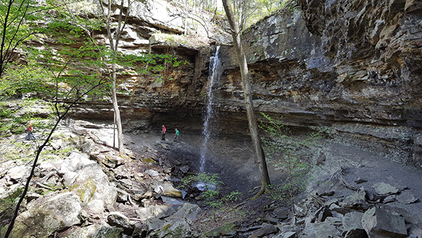
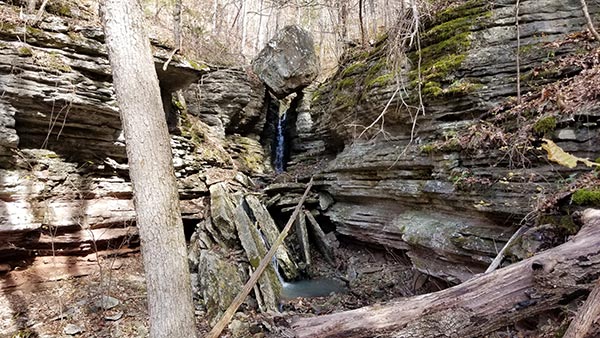
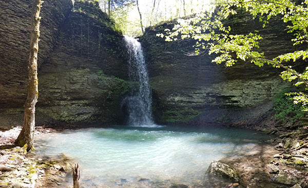
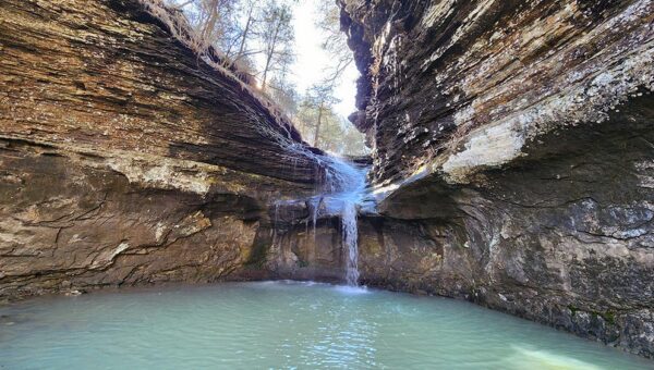
Waterfall hiking in Arkansas has become increasingly popular with both the local and neighboring state hikers. And with over 100 waterfalls discovered (depending on the weather), Arkansas has plenty of options. Most trails that lead to waterfalls will take you through dense forested valleys along the lower parts of the mountains. Most will include creek beds, possibly lots of vegetation, and course, WATER! If this is the sort of outdoor adventure you are looking for, these links can help get you started:
- Arkansas Waterfalls – This is Tim Ernst’s website where you can purchase his book, “Arkansas Waterfalls, Second Edition”. If you are not familiar with Tim Ernst, he is the godfather of waterfall hiking in Arkansas. In his book, he has photographed and written about 200+ waterfalls in our state. When people are searching forums for advice on this subject, this is probably the most referenced resource out there.
- Rick’s Hiking Blog – This is a really awesome hiking blog that I’ve used a lot. Mr. Henry has put in an unbelievable amount of time hiking and blogging about it. Each of his posts list GPS coordinates for parking and the hiking destination, usually a waterfall. Rick also provides maps and lots of detailed commentary on how to best approach each hike. He gives you pitfalls, tips, and things to watch for. Use the search bar at the top of the page and you can find nearly any hike you want. This is a great resource.
- Waterfalls in Arkansas Map – This is one my most important waterfall planning tools. It is a custom google map with tons of waterfalls AND PARKING locations marked on the map. My friend Gez Rogers built this map and it is an amazing tool for finding waterfalls close to each other and planning multiple hikes. With this map, I have found so many waterfalls close to others I’ve been to that I never knew were there! It’s the same as the embedded map below, but but bigger. Clicking each spot leads to links to his YouTube video or other informative links. Be sure to follow these guys on Facebook by searching for “Waterfalls in AR & Other Cool Places”.
- World Waterfall Database – You can filter this database for Arkansas, and it lists hundreds of waterfalls. It doesn’t give much detailed information, but it does provide exact coordinates for each waterfall, as well as a Google map. It also lists other waterfalls that are close to whichever one you are viewing.
- Waterfalls in the Ozarks – This site has a longer list of waterfalls with directions and details about their height, hike distance, difficulty, and location. You can search this list by any of those parameters to find what you’re looking for. This is an excellent resource.
- AR Own Backyard Blog – You can read about all of my own waterfall hikes here. Most of these articles include YouTube videos from the hikes.
- NWS Rainfall Map – You can’t have waterfalls without water, and there’s no water flowing without recent rain. No more need to ask the social media groups “which waterfalls will be running this weekend?”. Use this map and adjust the dates to see how much rain has fallen and where. If you know where the waterfalls are located, this will give you a good idea of which ones will be running.
- All Trails (website) – Mobile app is here.) – This is an awesome interactive site and mobile app. You can create a profile to check off completed trails, save “wish lists” of trails to hike, and leave reviews. Users can search by city, region, parks, etc to find trails in a particular proximity, and see them on a map. Trails can be filtered by activity (hiking, mountain biking, horseback riding, kayaking, etc). Or filter by features such as waterfalls, caves, rock climbing, dog-friendly, and more. Most trail profiles include pictures, descriptions, maps, and driving directions. This is a great resource for those looking for new hiking trails to explore. Get the mobile app here.
Scenic Hikes
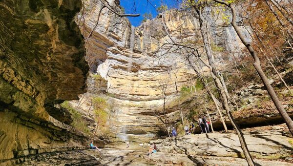
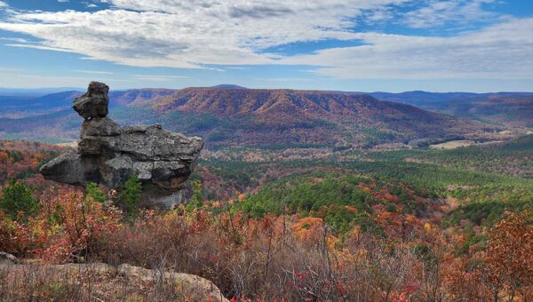
Some hikers prefer to take in the scenic views and rock formations that are tucked away in the Ozark and Ouachita Mountains. These types of hikes can vary in length. They can range from day hikes (0-12 miles) to overnight backpacking hikes that can take multiple days. (The Ozark Highlands Trail is 165 miles, one-way). Whether you plan to hike for the day, or spend one or more nights on the trail, it’s very important to know what you are getting into before you go, and pack accordingly. The following sites have great information about the many hiking trails in Arkansas to help you prepare:
- All Trails – In case you skipped the Waterfall section above…This is an awesome interactive site. You can create a profile to check off completed trails, save “wish lists” of trails to hike, and leave reviews. Users can search by city, region, parks, etc to find trails in a particular proximity, and see them on a map. Trails can be filtered by activity (hiking, mountain biking, horseback riding, kayaking, etc). Or filter by features such as waterfalls, caves, rock climbing, dog-friendly, and more. Most trail profiles include pictures, descriptions, maps, and driving directions. This is a must-have resource for those looking for new hiking trails to explore. Get the mobile app here.
- The Hiking Project is another interactive website with a mobile app. Again, users can create a profile to track hiking trails, and read or leave reviews. You can view pictures, find maps, and gather more information about hiking trails. This site is very similar to AllTrails.com. But different enough that it’s worth adding to your list. They do offer some additional pictures, reviews, and information. I highly recommend downloading their app.
- Arkansas State Parks – The Arkansas State Parks website is a pretty good source to find trails. Although it is limited to only trails in state parks, the information for them is in-depth.
- National Forests – Here is a list of National Forest Districts in Arkansas. Click on the links to see more details for each district.
- Peakery.com – OK, this is not a site for finding trails. But it is a pretty cool site where you can see all the peaks in Arkansas. They list the elevation for all of them and random other info. It’s a good place to find ideas for new places to hike.


