#BigPineyForest
Hike to Stave Mill Falls and Little Oak Falls
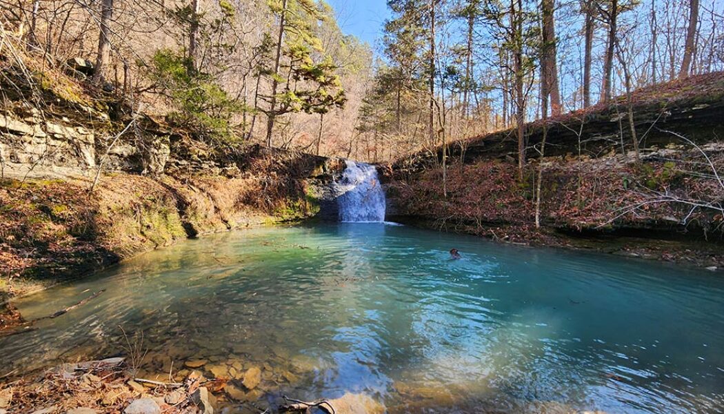
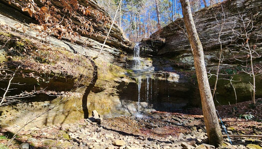
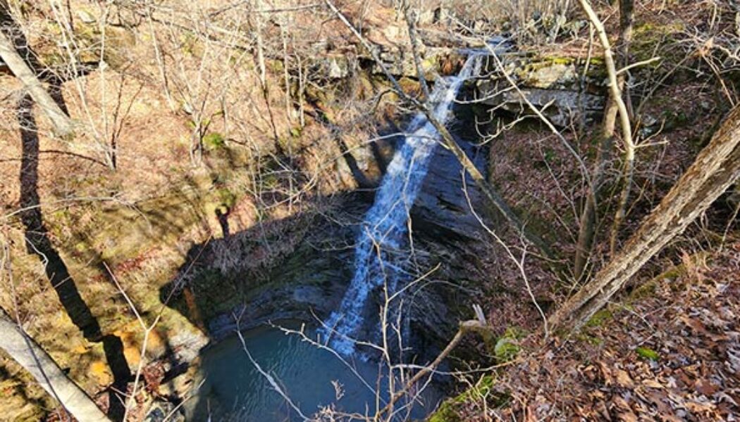
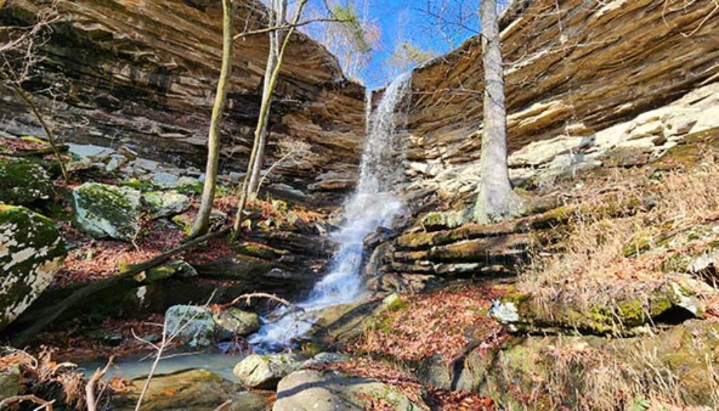
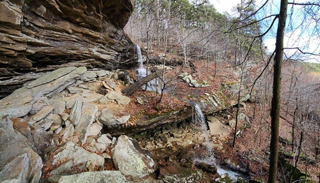
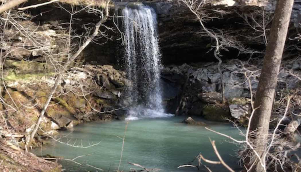
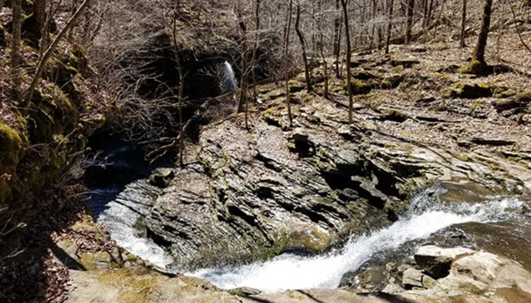
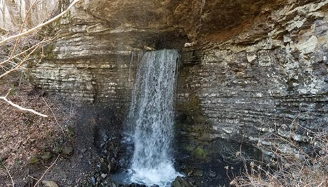
Years ago, I had the opportunity to go trail riding at Mack’s Pines on Hwy 7, north of Dover. And let me tell you, we had an absolute blast doing it. That was years before I had learned the lay of the land when it comes to waterfall hikes. So little did I know that day, that the waterfall we stopped to admire on our ride was actually Stave Mill Falls. And because we entered the trail riding area a good bit south of Mack’s Pines, I didn’t realize how close we were to the Moccasin Gap Recreation Area. Nor did I have any idea that it was only a short hike to Stave Mill Falls and Little Oak Falls. Fast forward several years and many dozen trips past Moccasin Gap on Hwy 7. This hike made my to-do list, but kept getting passed over for other hikes I wanted to check off my Tim E...
Hiking the Second Route to the Arkansas Sphinx
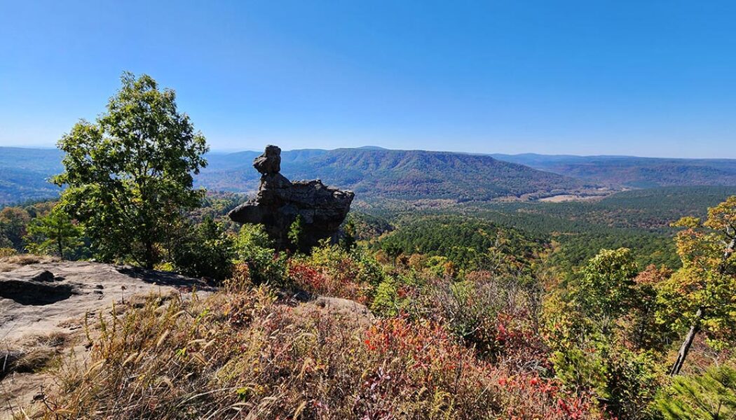
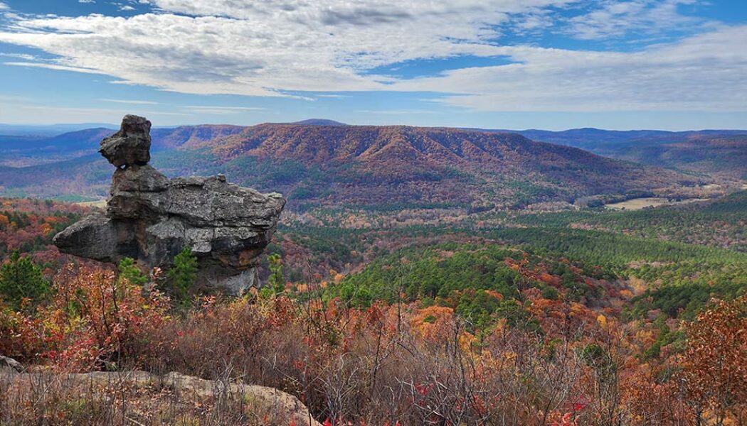
Some hikes are worth a re-visit. And a second viewing of that iconic monolith perched near the top of Hess Knob – known as the Arkansas Sphinx – is one such hike. There are two hiking routes you can take to the Sphinx. On my first trip there (read here), I opted for the shorter – but much steeper – route from parking area #1. While preparing for that hike, I read an article from the hiking blog of the late Rick Henry with info on a second route. Mr. Henry described the second route to the Arkansas Sphinx as longer, but less steep and strenuous than route #1. This route also hits the peak of Hess Knob with a magnificent vista view of the Sphinx and it’s scenic backdrop. So in my first Arkansas Sphinx article and video, I promised to come back to try the second ...
Hike to Hobo Falls on the OHT
The Ozark Mountains, renowned for their rolling hills, deep valleys, and hidden waterfalls, offer a haven for outdoor enthusiasts. Winding through this scenic landscape is the Ozark Highlands Trail (OHT), a designated National Recreation Trail, and a gem of Ozarks. Starting at Lake Fort Smith, this long distance trail winds through the heart of the Ozark National Forest for over 200 miles. This scenic route is known for its diverse terrain, from gentle valleys and meandering streams to challenging climbs and breathtaking vistas. And while it may be a thru-hiker’s dream, the OHT is divided into sections that offer numerous day hiking options. One of those options is the hike to Hobo Falls on the OHT. I’ve had the hike to Hobo Falls on my to-do list for several years. And long be...
The Arkansas Sphinx: A Natural Wonder in the Ozarks
Nestled in the heart of the Ozark Mountains, lies a natural wonder known locally as the Arkansas Sphinx. This sandstone monolith rises 20 feet above its perch near the top of Hess Knob. Its profile bears a resemblance to the iconic sphinx of ancient Egypt. Measuring approximately 20-30 feet tall and just as wide, the Arkansas Sphinx is believed to have been formed over millions of years through erosion. Wind, water, and ice carved away at the softer rock layers, leaving behind the Sphinx-like profile in the sandstone that we see today. Standing tall and proud, the Arkansas Sphinx offers stunning panoramic views of the surrounding countryside. This popular destination for hikers, photographers, and nature enthusiasts stands as a testament to the power of nature’s artistry. This natura...
Long Pool to Hwy 164 on Big Piney Creek
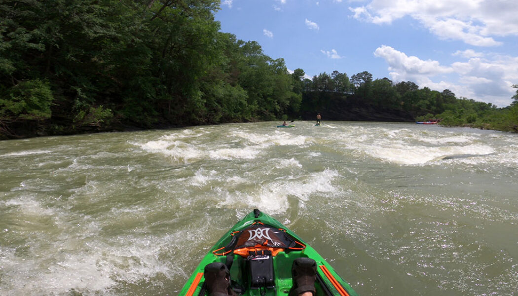
There are certain floats in Arkansas that have a very short window of opportunity for floating. You have to catch these floats during prime float season, and often within days of a good rain. Floats like North Sylamore Creek, or Helton’s to Long Pool on Big Piney Creek are good examples. Big Piney Creek is one of my favorites, and I think a very underrated float river in Arkansas. And although the window of opportunity is often short, there is a section that’s a little more forgiving. Of course I’m talking about Long Pool to Hwy 164 on Big Piney Creek. Long Pool to Hwy 164 on Big Piney Creek is a float that I have done many times. You might also see it called Long Pool to Moore’s, or Long Pool to Twin Bridges. I like it for several reasons. One, it has some really f...
Native American Falls Hike Near Sand Gap
I have written several articles recently about some of the hiking gems that can be found along AR Hwy 7. Waterfall hikes like Fern Falls, Hudson Shelter Falls, and Lonesome Hollow are just the tip of the iceberg. There are many more of those yet to go. Some of them are longer hikes, some are more difficult bushwhacks, and some are further off Hwy 7. I’ll try to eventually include as many as I can here. As for the more popular hikes closer to Hwy 7, the next on our list is the Native American Falls hike near Sand Gap. Much like Fern Falls, the parking location for Native American Falls is right on Hwy 7. There are no gravel roads to travel or complicated directions. It’s simply a dirt parking area off the highway, just south of the Hwy 16 intersection at Sand...
Easy Bushwhack Hike to Lonesome Hollow Falls
In my last article I described how AR Hwy 7 is the road to so many treasures in the Ozarks. In case you missed it, you can catch up on that one here. Yes, Scenic Hwy 7 between Dover and Harrison, and the many roads that intersect it, lead to a myriad of great hikes. There are long hikes, short hikes, difficult hikes, easy ones, and everything in between. As you travel along this highway, you’ll likely pass right by many of these adventures and not even realize it. That was certainly true for me. So in the Fall of 2022, I caught up with a few of these by hiking to Fern Falls and Hudson Shelter Falls. And finally, I made the easy bushwhack hike to Lonesome Hollow Falls Along the same road as Lonesome Hollow Falls lies a bushwhack hike along Cub Creek with multiple waterfalls. And to th...
Hike to Hudson Shelter Falls
It was a random Sunday drive up Hwy 7 into the Ozarks years ago where I unexpectedly found my future playground. Little did I know at the time that a visit to Haw Creek Falls would lead to this rabbit hole of adventures that I’ll likely never find the end of. Haw Creek would lead to Pack Rat Falls and Pam’s Grotto. And then across Hwy 7, I would find Kings Bluff and Pedestal Rocks, which would lead me to Falling Water Creek. And from that point, I was hooked. Oh I had done some mountain biking, some paddling, and your basic State Park hikes. But nothing like the Ozark gems I would find all up and down Hwy 7, and eventually all across the state. Since that day, I’ve travelled along this highway countless times, often not knowing what other gems I was passing right by. One ...
Bushwhack to Greasy Creek Falls
Hello everyone! My name is Travis, and I’m a new member of the AROwnBackyard team. I’ll be sharing tales of trails around Arkansas to help all of you discover your next outdoor adventure. This past week, I undertook a bushwhack to Greasy Creek Falls, as well as several of its waterfall friends in the nearby area! One of my dear friends, Gez Rogers of Waterfalls in Arkansas, has compiled an excellent map of waterfalls around Arkansas. For quick reference, you can always find this map on the AR Own Backyard hiking page. Although it already contains hundreds, some waterfalls haven’t managed to make it to the map just yet! After all, Arkansas has many excellent hollows, gaps, and canyons not fully documented. For me, these chunks of this wilderness make for an ideal weekend h...
Bear Creek Waterfall Hike
I try to cover a variety of hikes that range in difficulty for hikers of all abilities. Sometimes I do an easy hike, and other times a more difficult hike. It just depends on what I’m in the mood for. If I’ve been stressed or too busy to plan a difficult hike, I might go for an easy one. Something on a well-travelled or well-marked trail I don’t have to think about. Hikes like Lost Valley or Kings Bluff. On the other hand, sometimes I’m in the mood for a challenge. I have a long list of these kind of hikes to do. The latest one I’ve checked off the list is the Bear Creek Waterfall Hike. The Bear Creek waterfall hike has been on my list for years. When I first saw pictures of Sidewinder Falls and V-Slot falls, I knew I had to do this hike. I had the impression ...
Hike to Big Creek Cave Falls and Wolf Creek Cave Falls
One of my favorite things about hiking with friends is seeing their reaction to some of the amazing sights in our beautiful state. Often times I’ll hike alone – intentionally – for my own mental health and to disconnect from everything. But other times, I like to have a hiking partner. This is especially true for more remote or difficult hikes where I’m not completely sure what to expect. So for a recent hike to Big Creek Cave Falls, I invited my long-time friend Neil Webb. Not because this hike is difficult, but because it is kind of remote. I wasn’t completely sure what to expect, but it ended up being a much easier hike than I thought. Some of my hiking partners are used to seeing places like this. Others have done some of the basic popular hikes like Cedar...
Hiking the Kings Bluff Loop
Sometimes you just need a do-over. The third article I ever wrote for my blog was for a hike to Kings Bluff Falls. I did that hike years before I ever knew I would have an outdoors blog. I didn’t research the hike or even really know what to expect. We just showed up and hiked to the falls and back, not even knowing what else was out there. That was the case for several of my early articles, but this one only had a few pictures and no video! There’s so much more to hiking the Kings Bluff Loop than I covered the first time. So I think this hike deserves a do-over. After that first visit, I made a return trip there and hiked the Pedestal Rocks Loop. Both hikes are really one big loop, but you can hike them separately. The rock formations at Pedestal Rocks are amazing. It wasnR...

