#easyhike
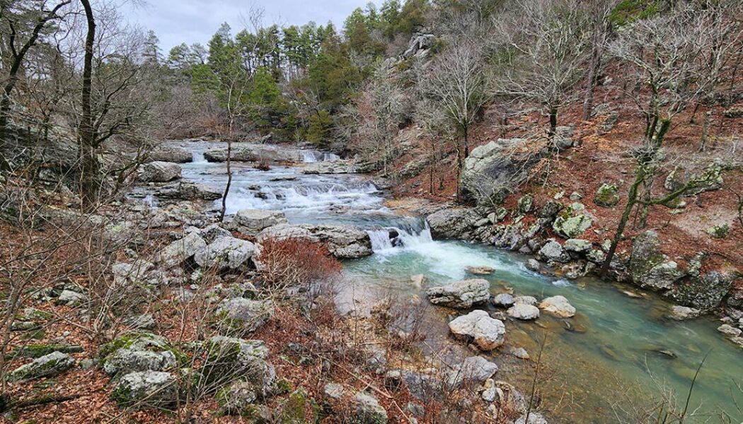
Forked Mountain Falls in the Flatside Wilderness
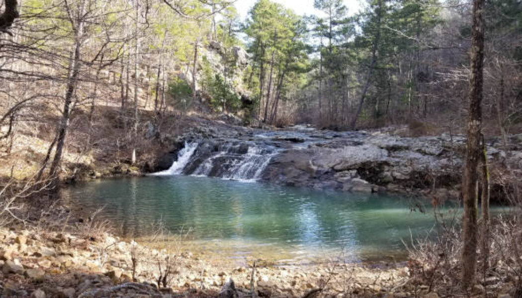
In the northeast corner of the Ouachita Mountain region lies the Flatside Wilderness area. It is an area that’s relatively less explored and often overlooked. I think this may be because exploring this area requires a LOT of dirt road driving, which may turn some folks away. Personally, I like driving those dirt roads. I think another reason is that people mostly hear about the beautiful scenery and waterfalls in the Ozarks, because it’s the most popular area. Hey, I get it – the Ozarks are still my favorite too. But there is also great scenery – including waterfalls – in the Ouachitas. One of those is Forked Mountain Falls in the Flatside Wilderness area. Forked Mountain can be seen from many different places while driving through the Flatside Wilderness area...
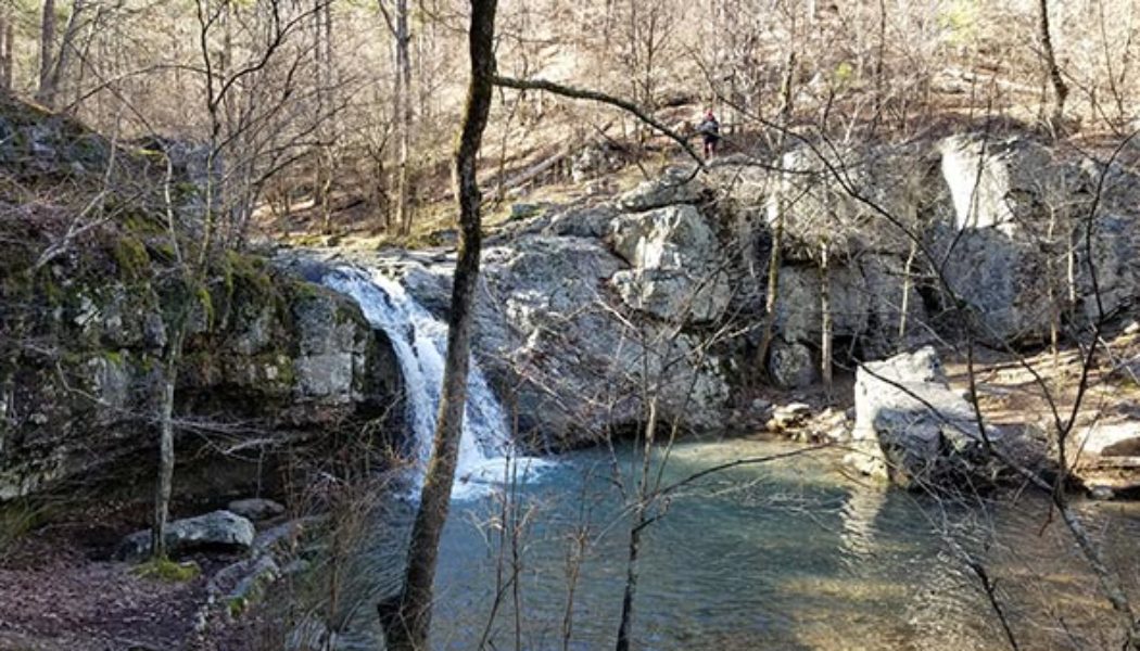
Sweden Creek Falls Hike in the Ozarks
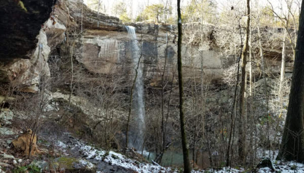
For my first hike of the year I continued on my quest to hike all the major waterfalls in the Upper Buffalo River area. I decided to start the year off with the Sweden Creek Falls hike since it had been on my list for a while. And the conditions were perfect for a waterfall hike that day. The Kingston area had gotten some rain for several days before, and even some snow. On the day of my hike, the sun was out in full to warm things up to the mid-40’s. This meant there should be plenty of water in the falls from the snow-melt and previous rain. Full sun and water in the falls? I couldn’t ask for better conditions, especially for this hike. Driving up Hwy 21 from Clarksville to Boxley, I was pleased to see there was still a light dusting of snow on the ground. I haven’t see...
Hemmed in Hollow Falls Via the Buffalo River
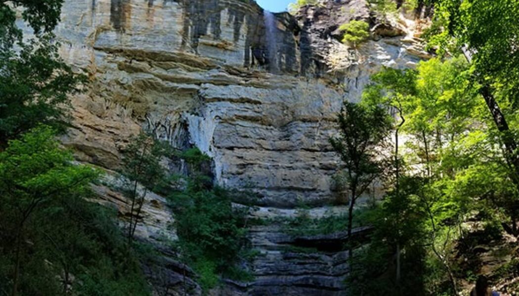
Did you know that the highest waterfall between the Appalachians and the Rocky Mountains is located right here in Arkansas? Yep, that’s right. Hemmed in Hollow, located on the Buffalo National River, is 209 feet tall. That makes it the highest waterfall in Mid-America, according the National Park Service. From the regular trail head it’s a pretty tough hike. It starts in the hills above the top of the falls and ends at the bottom of the falls. So the steep uphill hike out of there is the difficult part. But for anyone that’s physically unable to do this hike, I have good news. You can access Hemmed in Hollow Falls via the Buffalo River and it’s a very short, easy hike. OK, so if you thought I was going to tell you about some special elevator, zip line or something, ...
Six Finger Falls and Fuzzy Butt Falls
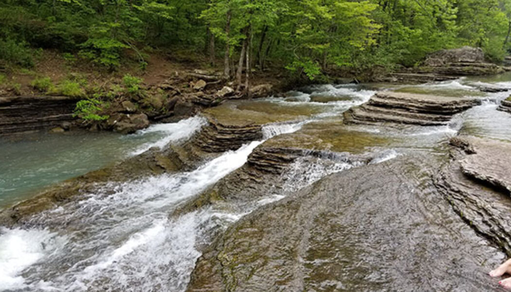
Falling Water Road near Ben Hur is home to many popular Ozark waterfalls. Some of them require a short, easy hike to see. Some of them are longer, tougher hikes. Others, such as the ever-popular Falling Water Falls, can be seen from the road. Six Finger Falls and Fuzzy Butt Falls are two others that are very accessible and easy to get to. Six Finger Falls, just like Falling Water Falls, is one that you can see from the road. You literally park next to it, walk 50 feet down a rocky trail, and you are there. Fuzzy Butt Falls on the other hand, cannot be seen from the road. But it is so close that I hardly even consider it a hike. If you are not a big hiker but still want to see some awesome waterfalls, these two are for you. They are so close together that if you are going to make the drive ...
Little Missouri Falls in the Ouachitas
Original article from March 14, 2020 edited/rewritten on November 27,2024. One of my favorite things about hiking is often the drive to get the trailhead. There is often a lot of scenery and cool things to see on those dirt roads out there. Sometimes I enjoy a day of driving backroads through the wilderness with very little hiking at all. On some of those cold, wet Winter days, or days I don’t feel up for a tough hike, it’s a good way to still get out and enjoy nature. One of my favorite spots to do this is near the Albert Pike area with a stop at Little Missouri Falls in the Ouachitas. With miles and miles of backroads in this area, visiting Little Missouri Falls is just the tip of the iceberg. There are so many areas to hike and things to see. But for anyone that’s neve...
Falls Creek Falls at Lake Catherine
I have seen several people on social media ask where to see waterfalls close to Central Arkansas. Some have specifically asked about “the waterfalls close to Malvern/Hot Springs/Lake Catherine”. They would be referring to Falls Creek Falls at Lake Catherine State Park. For anyone that’s asked or has wondered the same thing, this post is for you. I actually hiked to Falls Creek Falls at Lake Catherine years ago. But I recently made a return trip to refresh my memory and get new pics. The things I do for my readers. (Me, pretending to have readers, lol). Wow, I had forgotten what a great hiking spot this is! Why? Keep reading and I’ll tell you all about it. But first… Directions Where is it? It’s very easy to find. The trail system is located in Lake Cathe...
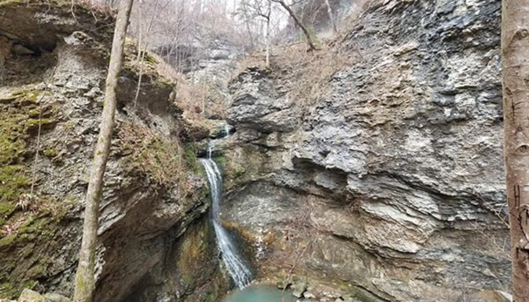
Hiking to Eden Falls at Lost Valley
December. It’s that time of year when most folks aren’t thinking about getting out for a hike. There’s Christmas shopping to do and parties to attend. And for a lot of people, it’s just too damn cold out there! Or is it? Although I’m really not a cold-weather person, some of my favorite hikes have been in the winter. I learned this years ago while hiking to Eden Falls at Lost Valley. It was 3 days before New Years. I had some time off from work and really needed some nature therapy. But…it was 28 degrees outside! If you know me, you know that I despise Winter. Hate it. I’m a warm-weather person all the way. But I reeeeally needed to get outside. So I layered up, packed water and lunch, and hit the road. The plan: Drive to Ponca and hike whatever I ...
Petit Jean State Park – Bear Cave Trail
Welcome to Part Six of the Petit Jean State Park hiking series, Bear Cave Trail. Petit Jean is Arkansas’ first state park. It’s also one of my go-to spots when I want a spur-of-the-moment, close to home day hike. It’s great because there are so many options there. Whether you want waterfalls, vista views, caves, or cool rock formations, Petit Jean has it all. And if caves and cool rock formations are your thing, then Bear Cave Trail is a spot you must check out. It’s not really much of a hike. But it’s such a cool and interesting part of the park that I just couldn’t leave out of this series. Directions Petit Jean State Park is a few miles southwest of Morrilton right off Hwy 154. Or approx 6 miles north of Adona off Hwy 10 to Hwy 324/155 if you’re...
Petit Jean State Park – Canyon Trail
Welcome to Part Three of the Petit Jean State Park hiking series, the Canyon Trail. Petit Jean is Arkansas’ first state park. It’s also one of my go-to spots when I want a spur-of-the-moment, close to home day hike. It’s great because there are so many options there. Whether you want waterfalls, vista views, caves, or cool rock formations, Petit Jean has it all. If you missed Part One, I covered the most popular hike in the park. That would the Cedar Falls Trail, with it’s massive grotto and 90-ft Waterfall. The Canyon Trail starts around the halfway point of the Cedar Falls trail. The first half of it is the exact same trail as the Cedar Falls hike. It is not a trail that I would drive to Petit Jean to do on its own. I mean, if you’re going to make the climb ...
Take a Dip at Falling Water Falls
In my first blog series, Big Piney Forest Waterfall Hikes, I wrote about my first visit to Falling Water Falls. On that visit, I was not prepared for a swim there. But in that story, I vowed to go back to take a dip at Falling Water Falls and do a follow-up post. So here it is. This is actually the third and final part to a series for a group waterfall hike. In case you missed the first two parts, we started the day at Pack Rat Falls near Haw Creek. The second stop of the day took us on a hike to Pam’s Grotto. It was a relatively mild day for July. But after a couple of hikes, we were all hot and tired and ready to cool off. So we made our way back across Hwy 7 to take a dip at Falling Water Falls. As much as the group enjoyed the two hikes, I think everyone was really looking forwar...
Hike to Pack Rat Falls in the Big Piney Forest
In my very first blog post about Haw Creek Falls , I promised to do a follow-up story on a hike to Pack Rat Falls. Well, here it is. After some friends saw my pics of Falling Water Falls, we decided to organize a group hike. So I researched a few spots for us to hike and see some waterfalls. I knew I wanted to return to Haw Creek and find Pack Rat Falls. And I had read great things about Pam’s Grotto, which is very close to Haw Creek. I also knew I had to return to Falling Water Falls – this time prepared to swim. So this was a perfect spot for a day hiking trip with a large group. And just like my very first post, this is another three-part series where I’ll feature each stop of the day. Our first stop of the day was a quick hike to Pack Rat Falls. Quick Glance Distance:...
Falling Water Falls – An AR Natural Swimming hole
Welcome to Part 3 of the Big Piney Forest Waterfall Day Hike Series – Falling Water Falls. This one is the last stop of a day trip spent hiking in the Big Piney Forest near Pelsor. In you missed the first 2 installments, Part 1 was the first leg of our day trip, Haw Creek Falls. And Part 2 was a hike to Kings Bluff Falls. So be sure to check out those stories for more info, maps, and pics. Our final stop of the day was my first visit ever to Falling Water Falls. This is a popular and highly-photographed waterfall and swimming area that you’ve probably seen on Instagram, Facebook, and other places. It’s so photogenic that it even made it onto the header image for some of the pages on this site. If you are ever hiking in this area in the summer, this is the best p...

